

Resources for
ponding
SRC Training
USGS Compound Flood Hazard Assessment Mapper Webinar
This virtual webinar featured the U.S. Geological Survey’s (USGS) new Compound Flood Hazard Assessment Mapper. Municipal staff, state agencies, and other partners joined to learn how USGS developed this new tool and how they could utilize it in planning and decision-making.
This webinar was hosted by New York Sea Grant, Connecticut Sea Grant, and the U.S. Geological Survey, with funding from Long Island Sound Partnership.
For questions or more information, email Kathleen Fallon.
A recording of the webinar along with webinar slides and a Q&A and references document is available below.
SRC Events
Compound Flood Hazard Assessment Mapper Webinar
Join us to learn about the U.S. Geological Survey’s (USGS) new Compound Flood Hazard Assessment Mapper. During this virtual webinar, geared towards municipal staff, state agencies, and other partners, you will learn how USGS developed this new tool and how to utilize it in planning and decision-making.
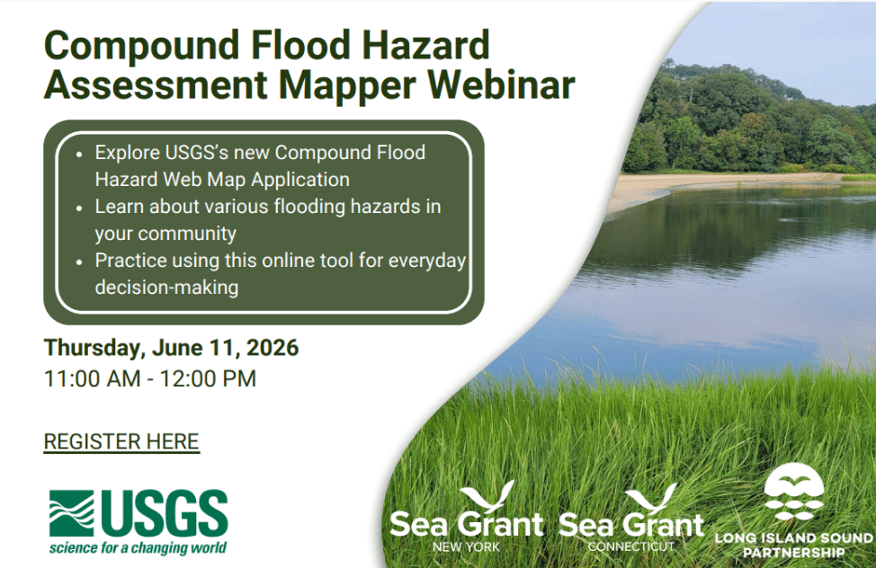
This webinar is hosted by New York Sea Grant, Connecticut Sea Grant, and the U.S. Geological Survey, with funding from Long Island Sound Partnership.
For questions or more information, email Kathleen Fallon.
SRC Events
Compound Flood Hazard Assessment Mapper Webinar
Join us to learn about the U.S. Geological Survey’s (USGS) new Compound Flood Hazard Assessment Mapper. During this virtual webinar, geared towards municipal staff, state agencies, and other partners, you will learn how USGS developed this new tool and how to utilize it in planning and decision-making.
This webinar is hosted by New York Sea Grant, Connecticut Sea Grant, and the U.S. Geological Survey, with funding from Long Island Sound Partnership.
For questions or more information, email Kathleen Fallon.