Resources for
groundwater
SRC Events
Compound Flood Hazard Assessment Mapper Webinar
Join us to learn about the U.S. Geological Survey’s (USGS) new Compound Flood Hazard Assessment Mapper. During this virtual webinar, geared towards municipal staff, state agencies, and other partners, you will learn how USGS developed this new tool and how to utilize it in planning and decision-making.
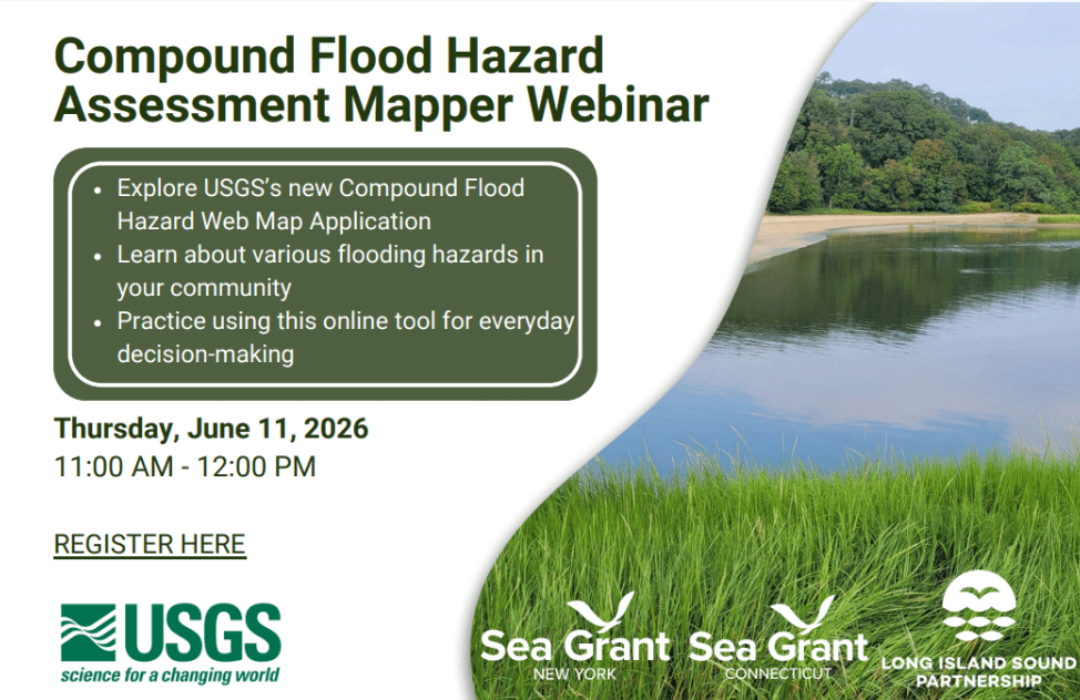
This webinar is hosted by New York Sea Grant, Connecticut Sea Grant, and the U.S. Geological Survey, with funding from Long Island Sound Partnership.
For questions or more information, email Kathleen Fallon.
SRC Events
Compound Flood Hazard Assessment Mapper Webinar
Join us to learn about the U.S. Geological Survey’s (USGS) new Compound Flood Hazard Assessment Mapper. During this virtual webinar, geared towards municipal staff, state agencies, and other partners, you will learn how USGS developed this new tool and how to utilize it in planning and decision-making.
This webinar is hosted by New York Sea Grant, Connecticut Sea Grant, and the U.S. Geological Survey, with funding from Long Island Sound Partnership.
For questions or more information, email Kathleen Fallon.
Mapper
Level of Effort:
USGS Compound Flood Hazard Web Map
The USGS Long Island Sound Partnership Compound Flood Hazard Web Map Application is an interactive tool developed by the U.S. Geological Survey’s New York Water Science Center that helps users explore the combined impacts of multiple flooding drivers across the New York and Connecticut coastal regions. Drivers of compound flooding included in the assessment were precipitation, coastal (storm surge, tidal), and groundwater emergence, which when combined can lead to more severe and widespread inundation than from any single cause alone.
The map visually displays hazard rankings and spatial patterns of flood drivers so that planners, emergency managers, researchers, and the public can better understand where these flood hazards are most likely to coincide, thus supporting local decision making for flood mitigation, coastal planning, and resilience strategies. The application is based on USGS models and ongoing research into regional flood processes.
Mapper
Level of Effort:
The Long Island Sound and Watershed Metadata Map Application
The Long Island Sound watershed is home to nearly 9 million people in parts of Connecticut, Massachusetts, New Hampshire, New York, Rhode Island, Vermont, and Canada. Government agencies, nonprofits, and Tribal Nations have overseen numerous projects to monitor and protect the water resources of this watershed and the sound. Although there is an abundance of data, there is no easy way to search them or a central place to manage this information. To help, the U.S. Geological Survey, the U.S. Environmental Protection Agency, and the Long Island Sound Study have created an interactive map to help users find and understand data about the water resources of the Long Island Sound and its watershed.
This mapping tool does not host data or maintain data repositories. Instead, it compiles and presents metadata from publicly accessible databases managed by State and other organizations.
Refer to this fact sheet for details about the application and its data sources: The Long Island Sound and Watershed Metadata map application
Mapper
Level of Effort:
U.S. Sea Level Change
This site provides federally supported data visualizations coupled with explanations and science education to help communities prepare for challenges that will affect our coastal environments. By showing how sea levels are changing regionally, the site provides a foundation to inform decision-making related to coastal planning, resource management, and emergency operations.
This website is a collaborative effort from The Interagency Task Force on Sea Level Change (DOD, EPA, FEMA, NASA, NOAA, USACE, USAID, and USGS).