Resources for
SLR
Training
Dodge Paddock & Beal Preserve Marsh Restoration Field Trip and Workshop
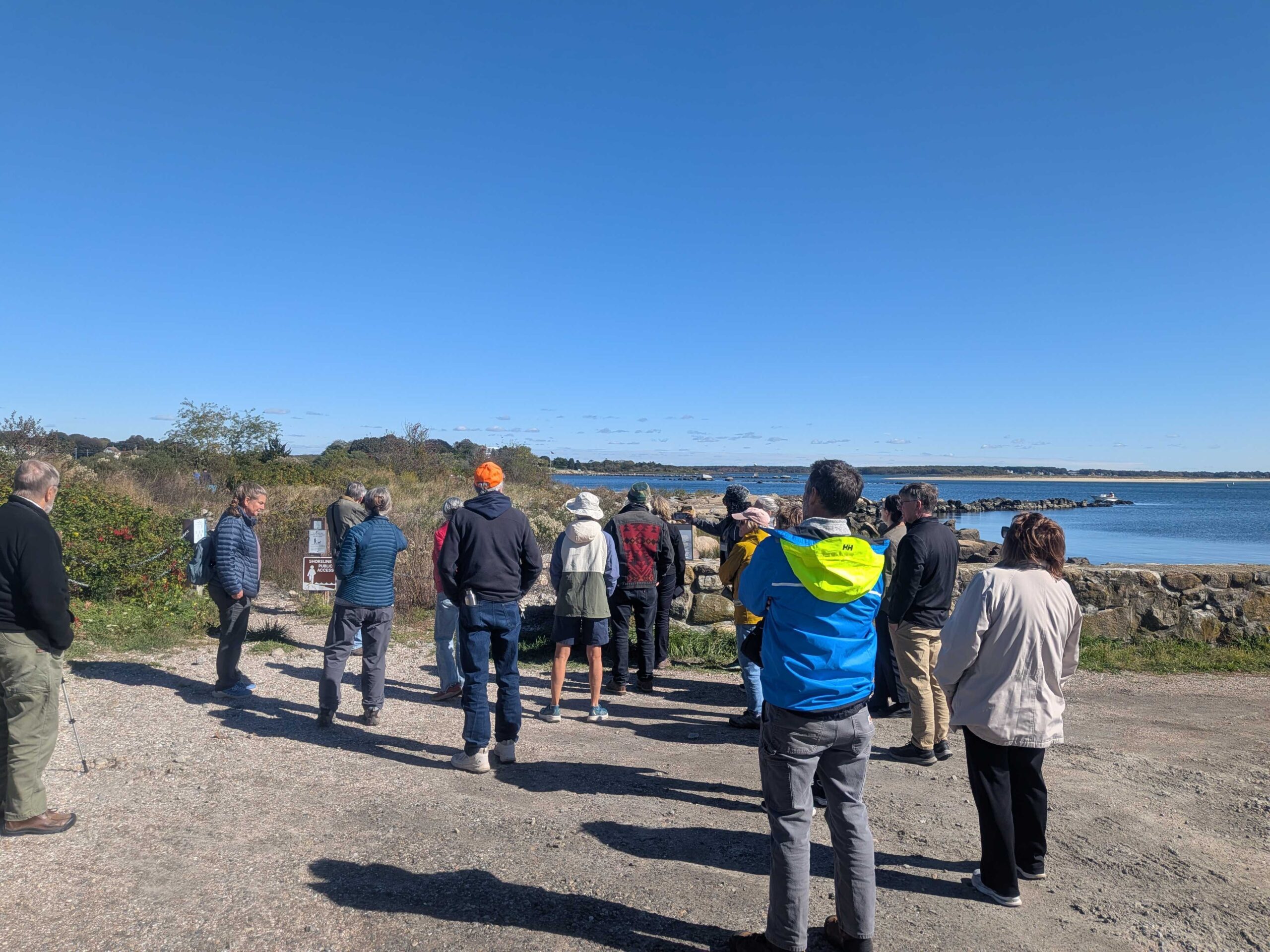
On October 16, 2025, the Sustainable and Resilient Communities (SRC) team of the Long Island Sound Partnership hosted a field trip featuring the Dodge Paddock and Beal Preserve Marsh Restoration Project in Stonington Borough. The day started with a presentation outlining the history and current state of the site, followed by a walk to Dodge Paddock and Beal Preserve where there was a guided tour led by Connecticut Sea Grant, Avalonia Land Conservancy, and local volunteers. The day included a deep dive into the invasive species removal process, plantings to accommodate marsh migration, and a close up look at what has grown since then. Special thanks to our partners with Avalonia Land Conservancy, Connecticut Sea Grant, and the Stonington Community.

Training
Dodge Paddock & Beal Preserve Marsh Restoration Field Trip and Workshop
On October 16, 2025, the Sustainable and Resilient Communities (SRC) team of the Long Island Sound Partnership hosted a field trip featuring the Dodge Paddock and Beal Preserve Marsh Restoration Project in Stonington Borough. The day started with a presentation outlining the history and current state of the site, followed by a walk to Dodge Paddock and Beal Preserve where there was a guided tour led by Connecticut Sea Grant, Avalonia Land Conservancy, and local volunteers. The day included a deep dive into the invasive species removal process, plantings to accommodate marsh migration, and a close up look at what has grown since then. Special thanks to our partners with Avalonia Land Conservancy, Connecticut Sea Grant, and the Stonington Community.
Mapper
Level of Effort:
U.S. Sea Level Change
This site provides federally supported data visualizations coupled with explanations and science education to help communities prepare for challenges that will affect our coastal environments. By showing how sea levels are changing regionally, the site provides a foundation to inform decision-making related to coastal planning, resource management, and emergency operations.
This website is a collaborative effort from The Interagency Task Force on Sea Level Change (DOD, EPA, FEMA, NASA, NOAA, USACE, USAID, and USGS).