Resilience Steps
Find support and resources tailored to your project needs. Select your Planning Phase, Location, and/or Topic of interest to access a filtered selection of our curated resources and tools.

Find support and resources tailored to your project needs. Select your Planning Phase, Location, and/or Topic of interest to access a filtered selection of our curated resources and tools.

Learn about the environmental threats and climate risks in your community

Identify strategies to help mitigate risks and develop ways to adapt to a changing climate

Find funding and guidance to help put your plans into action

Monitor, maintain, and adaptively-manage your project to sustain success
Select one or more of the filters below to find relevant tools and resources for your needs


Learn how to identify, prioritize, and implement high-impact projects
Resource
The Long Island Watershed Action Agenda is a clear-cut blueprint for water quality improvements, aquatic habitat conservation, groundwater protection, and the public engagement necessary to ensure success for the surface, coastal, and ground waters of Nassau and Suffolk counties. The Long Island Watershed Action Agenda is an evolution of the success of the Long Island Nitrogen Action Plan (LINAP) and will expand the scope of its work beyond nitrogen reduction.
Resource
Level of Effort:
Check out our interactive map to learn about living shoreline projects located in the marine district of New York.
More information about living shorelines and their benefits can be found on the NYSDEC Living Shorelines webpage.
Resource
Level of Effort:
Check out our interactive map to learn about living shoreline projects located in the marine district of New York.
More information about living shorelines and their benefits can be found on the NYSDEC Living Shorelines webpage.
Story Map
Level of Effort:
A StoryMap on Hypoxia
This StoryMap describes how the Long Island Sound (LIS) Partnership has reduced hypoxia and improved nutrient management efforts in Long Island Sound and its watershed.
It includes an explanation of hypoxia, impacts from the region’s history, how LIS Partnership is addressing hypoxia, plans for the future, and how to use this information to inform meaningful action.
Mapper
Level of Effort:
The River Revival Project Map is a GIS-based map that identifies every river and stream in Nassau and Suffolk Counties. It also identifies the tributaries where river herring runs are known to exist, and shows all existing, planned or proposed connectivity projects on the island. The map is intended to be a tool to engage citizens in the restoration of rivers and streams in their communities.
Mapper
Level of Effort:
This NYSDEC tool provides information on shellfish closures in NY’s marine waters and can be used to help resource users understand where it is safe to harvest to shellfish.
Mapper
Level of Effort:
This NYSDEC tool provides information on shellfish closures in NY’s marine waters and can be used to help resource users understand where it is safe to harvest to shellfish.
Guidance Tool
Level of Effort:
Resource guide for CT shellfish and aquaculture. It provides information and tools about all things shellfish and aquaculture in Connecticut with sections for businesses, consumers, recreational shellfishing, and shellfish restoration.
Guidance Tool
Level of Effort:
Resource guide for CT shellfish and aquaculture. It provides information and tools about all things shellfish and aquaculture in Connecticut with sections for businesses, consumers, recreational shellfishing, and shellfish restoration.
Guidance Tool
Level of Effort:
This Guide provides planning tools, regulatory information, and best management practices to jumpstart shellfish restoration-based project planning.
Guidance Tool
Level of Effort:
This Guide provides planning tools, regulatory information, and best management practices to jumpstart shellfish restoration-based project planning.
Mapper
Level of Effort:
The Long Island Sound Crossing Prioritization Tool can be used to prioritize road-stream crossings (culverts and bridges) for ecological, infrastructure, and community resilience benefits in Westchester, Nassau and Suffolk County, NY. The tool helps communities plan improvements that restore habitat for diadromous fishes, strengthen infrastructure against climate change, and keep communities connected.
Developed by Save the Sound in partnership with Seatuck Environmental Association and The Nature Conservancy, the Long Island Sound Crossing Prioritization Tool was built by CivicMapper and is hosted on ArcGIS Online. It is intended to be a resource for municipalities, especially parts of municipal government that make infrastructure or environmental decisions for their communities, by making it easier to apply for grant funding. The tool is a useful resource for agency partners and fellow environmental organizations working to accelerate river restoration and protect communities from climate change.
Mapper
Level of Effort:
Signed into law on November 25, 2024, the bipartisan BEACH Act (BEACH Act; Pub. L. 118-117) reauthorizes the Coastal Barrier Resources Act (CBRA) and updates maps for 454 coastal units across 13 U.S. states, including Connecticut. The revised Coastal Barrier Resources System (CBRS) maps are now effective and available through the CBRS Mapper
The BEACH Act expands eligibility for federal flood insurance and financial assistance in areas removed from the CBRS, while limiting new federal funding in areas added to the system. It also introduces new requirements for CBRA disclosures during real estate transactions, guidance for emergency coastal projects, and research initiatives on coastal barrier ecosystem dynamics.
Agencies involved:
U.S. Fish and Wildlife Service (FWS), Department of Housing and Urban Development, U.S. Army Corps of Engineers, and U.S. Geological Survey.
Mapper
Level of Effort:
This NOAA Fisheries ArcGIS StoryMap aids project applicants and Federal action agency partners in using relevant, sensitive habitats data to develop comprehensive Essential Fish Habitat (EFH) assessments. The tool also supports Federal action agencies and project proponents in determining when an updated habitat survey for sensitive resources (including tidal marsh, shellfish habitat, hard seafloor, submerged aquatic vegetation, rocky habitats, and mudflats) may be required for a complete EFH consultation.
Guidance Tool
Level of Effort:
CT DEEP recently released a new tool allowing users to search for DEEP financial assistance programs based on a variety of parameters such as eligibility requirements, grant cycle status, project types, and more. This resource and offers “one-stop shopping” for many DEEP funding opportunities.
Data
Level of Effort:
This portal contains the comprehensive dataset of awarded projects for the Water Quality Improvement Project Program (WQIP) and the Non-Agricultural Nonpoint Source Planning and MS4 Mapping Grant (NPG). Data is displayed simultaneously on a map and data table and can be filtered by Grant Program, Applicant, County, Project Type, and Funding Source.
Mapper
Level of Effort:
Connecticut shoreline data is now available via USDA’s Web Soil Survey mapping tool. This includes detailed aspects of the shallow subaqueous, submerged soils, and adjacent nearshore areas such as tidal marshes and beaches. This information will help inventory resources, plan for hazard mitigation, guide restoration efforts, and track environmental changes. The next phase of the project will map the New York side of the shoreline. See the Coastal Zone Soil Survey Fact Sheet to learn more about the process for collecting and documenting these data.
Mapper
Level of Effort:
The Long Island Sound Watershed Land Cover Viewer contains all dates of land cover as well as Change To, Change From, Riparian Area Land Cover, and Impervious Surface Estimate layers. It also has many layers where HUC 12 watersheds are colored based on a single land cover.
Mapper
Level of Effort:
The Long Island Sound Watershed Land Cover Viewer contains all dates of land cover as well as Change To, Change From, Riparian Area Land Cover, and Impervious Surface Estimate layers. It also has many layers where HUC 12 watersheds are colored based on a single land cover.
Mapper
Level of Effort:
Connecticut Environmental Conditions Online (CT ECO) is the collaborative work of the Connecticut Department of Energy and Environmental Protection (DEEP) and the University of Connecticut Center for Land Use Education and Research (CLEAR) to share environmental and natural resource information with the general public. CT ECO’s mission is to encourage, support, and promote informed land use and development decisions in Connecticut by providing local, state and federal agencies, and the general public with convenient access to the most up-to-date and complete natural resource information available statewide.
CT ECO includes a variety of online maps and tools for viewing Connecticut’s environmental and natural resources as well as high resolution aerial imagery, elevation data, and land cover. The Advanced Map Viewer provides flexibility to turn on and off layers of the map.
Mapper
Level of Effort:
User-friendly access to expert-reviewed interactive maps on key topics such as marine life and habitat, marine-based industry, use and resources in the northeastern United States. The Data Explorer allows the user to define and view any combination of data hosted on the Portal on one map.
Mapper
Level of Effort:
The tool is designed to support shellfish and seaweed aquaculture siting in New York and Connecticut’s coastal waters.
Mapper
Level of Effort:
The tool is designed to support shellfish and seaweed aquaculture siting in New York and Connecticut’s coastal waters.
Mapper
Level of Effort:
This mapper provides a view of estuary data and the option to retrieve and save information about water quality, nutrients, land use, etc. There are also instructions provided to assist with usage.
Mapper
Level of Effort:
This mapper provides a view of estuary data and the option to retrieve and save information about water quality, nutrients, land use, etc. There are also instructions provided to assist with usage.
Mapper
Level of Effort:
The Map Viewer is the state’s first geospatial collection of key ecological, biological, and human-use data intended to assess the viability of a coastal location to support shellfish restoration. Further, qualitative oyster habitat surveys characterize, for the first time, the condition of intertidal oyster populations across the state and establish a baseline to inform the planning of future quantitative assessments.
Mapper
Level of Effort:
The Long Island Sound watershed is home to nearly 9 million people in parts of Connecticut, Massachusetts, New Hampshire, New York, Rhode Island, Vermont, and Canada. Government agencies, nonprofits, and Tribal Nations have overseen numerous projects to monitor and protect the water resources of this watershed and the sound. Although there is an abundance of data, there is no easy way to search them or a central place to manage this information. To help, the U.S. Geological Survey, the U.S. Environmental Protection Agency, and the Long Island Sound Study have created an interactive map to help users find and understand data about the water resources of the Long Island Sound and its watershed.
This mapping tool does not host data or maintain data repositories. Instead, it compiles and presents metadata from publicly accessible databases managed by State and other organizations.
Refer to this fact sheet for details about the application and its data sources: The Long Island Sound and Watershed Metadata map application
Mapper
Level of Effort:
This interactive map published by the CTDOT in March 2025 allows users to view data layers that make up the state-owned and maintained drainage network across Connecticut. Culvert locations are included, as well as their water source, material components, type of conveyance, diameter, length, last inspection date, and maintenance information. Note that an ArcGIS login is required to access this resource.
Mapper
Level of Effort:
This resource provides a variety of Aquaculture geodata in CT and can be used to support the decision-making process for aquaculture permitting applications, but does not include authoritative content.
Mapper
Level of Effort:
This resource provides a variety of Aquaculture geodata in CT and can be used to support the decision-making process for aquaculture permitting applications, but does not include authoritative content.
Mapper
Level of Effort:
The purpose of the Long Island Sound Blue Plan is to identify and protect places of traditional use and ecological significance, and to minimize conflicts, now and in the future. Contains data layers with policy and planning areas, ecologically significant areas, and significant human use areas.
Case Study
Project
Port Washington, NY
With support from the Long Island Sound Resilience Grant Writing Assistance (GWA) Program, in December 2023 Cornell Cooperative Extension of Nassau County was awarded $250,000 from the Long Island Sound Futures Fund to fund the project – Building Volunteer-Driven Oyster Restoration on Long Island Sound: Implementation and development of a framework for a community Oyster Gardening Program.
The program aims to develop a volunteer training program to engage people to cultivate oyster gardens for reef restoration; source and procure spat-on-shell oysters for gardening; conduct a pilot project in Manhasset Bay; and deliver an education campaign to teach 500 residents at 15 events about shellfish restoration in Manhasset Bay, Town of North Hempstead, New York. Project will provide a framework to contribute to restoration of oyster reefs an Important Coastal Habitat of Long Island Sound.
LIS Resilience Grant Writing Assistance Program Details:
Grant Writing Consultant: Ken Schlather Consulting; Grant Writing Assistance Award: $3,000
Grant Writing Consultant: Richard Eisendorf; Grant Writing Assistance Award: $6,800

Michael Fiorentino, Cornell University Cooperative Extension Nassau County, mf628@cornell.edu
Case Study
Project
Port Washington, NY
With support from the Long Island Sound Resilience Grant Writing Assistance (GWA) Program, in December 2023 Cornell Cooperative Extension of Nassau County was awarded $250,000 from the Long Island Sound Futures Fund to fund the project – Building Volunteer-Driven Oyster Restoration on Long Island Sound: Implementation and development of a framework for a community Oyster Gardening Program.
The program aims to develop a volunteer training program to engage people to cultivate oyster gardens for reef restoration; source and procure spat-on-shell oysters for gardening; conduct a pilot project in Manhasset Bay; and deliver an education campaign to teach 500 residents at 15 events about shellfish restoration in Manhasset Bay, Town of North Hempstead, New York. Project will provide a framework to contribute to restoration of oyster reefs an Important Coastal Habitat of Long Island Sound.
LIS Resilience Grant Writing Assistance Program Details:
Grant Writing Consultant: Ken Schlather Consulting; Grant Writing Assistance Award: $3,000
Grant Writing Consultant: Richard Eisendorf; Grant Writing Assistance Award: $6,800
Case Study
Plan
East Haddam, CT
With support from the Nature Conservancy and Sustainable CT, East Haddam organized a Community Resilience Building process and workshop, the results of which were compiled into this summary. The team engaged with community members to determine the present hazards and vulnerabilities and identify resilient solutions.
Case Study
Project
Wilton, CT
Dana Dam (aka Strong Pond Dam) at Merwin Meadows Park in Wilton, CT was the first barrier to upstream fish migration from Long Island Sound on the Norwalk River. A series of dams along the Norwalk River (historically, and presently) prevented fish from reaching their historic spawning grounds, have posed safety risks, and disconnected the river from its natural floodplain. On September 11, 2023, demolition of this dam began! In addition to restoring habitat and allowing fish passage, the removal restored natural floodplain connectivity, realigned 200 feet of river channel away from an active railroad embankment, and removed a known safety hazard.


Alex Krofta, akrofta@savethesound.org
Case Study
Project
Wilton, CT
Dana Dam (aka Strong Pond Dam) at Merwin Meadows Park in Wilton, CT was the first barrier to upstream fish migration from Long Island Sound on the Norwalk River. A series of dams along the Norwalk River (historically, and presently) prevented fish from reaching their historic spawning grounds, have posed safety risks, and disconnected the river from its natural floodplain. On September 11, 2023, demolition of this dam began! In addition to restoring habitat and allowing fish passage, the removal restored natural floodplain connectivity, realigned 200 feet of river channel away from an active railroad embankment, and removed a known safety hazard.
Case Study
Project
Stratford, CT
This project consists of 750 feet of shoreline in Stratford, CT. The goal of the project was to protect the beach from coastal erosion and to help combat sea level rise. The steps consisted of adding a smooth cordgrass marsh, artificial shellfish reefs (reef balls), high marsh, and a coastal dune area. The site was awarded the “Best Restored Shore Area” from the American Shore and Beach Preservation Association. To adaptively manage the site, a second restoration project is being developed to extend the marsh seaward by 0.35 acres over an additional 250 feet of shore using a combination of bagged slipper shell and small, modular oyster castles near the marsh edge, along with additional cordgrass plantings in the intertidal zone.
Sacred Heart University

LaTina Steele
203-396-8485
steelel@sacredheart.edu
Case Study
Project
Stratford, CT
This project consists of 750 feet of shoreline in Stratford, CT. The goal of the project was to protect the beach from coastal erosion and to help combat sea level rise. The steps consisted of adding a smooth cordgrass marsh, artificial shellfish reefs (reef balls), high marsh, and a coastal dune area. The site was awarded the “Best Restored Shore Area” from the American Shore and Beach Preservation Association. To adaptively manage the site, a second restoration project is being developed to extend the marsh seaward by 0.35 acres over an additional 250 feet of shore using a combination of bagged slipper shell and small, modular oyster castles near the marsh edge, along with additional cordgrass plantings in the intertidal zone.
Sacred Heart University
Case Study
Project
Sea Cliff, NY
The Hempstead Harbor Protection Committee and Village of Sea Cliff completed subwatershed improvements at Scudders Pond to address stormwater drainage problems impacting the water quality of the pond and Hempstead Harbor, highlighted as a priority in the 1998 Hempstead Harbor Water Quality Improvement Plan. The improvements included dredging the pond, installing a hydrodynamic separator to intercept sediment, removing invasive Phragmites australis and replacing with native plants, realigning the stream to reduce erosion, redirecting the stormwater from residences to the bioswale, creation of a biofilter wetland area, replacement of the weir between the upper and lower ponds and weir at Shore Road.

Eric Swenson, Hempstead Harbor Protection Committee, hempsteadharbor@gmail.com
Case Study
Project
Sea Cliff, NY
The Hempstead Harbor Protection Committee and Village of Sea Cliff completed subwatershed improvements at Scudders Pond to address stormwater drainage problems impacting the water quality of the pond and Hempstead Harbor, highlighted as a priority in the 1998 Hempstead Harbor Water Quality Improvement Plan. The improvements included dredging the pond, installing a hydrodynamic separator to intercept sediment, removing invasive Phragmites australis and replacing with native plants, realigning the stream to reduce erosion, redirecting the stormwater from residences to the bioswale, creation of a biofilter wetland area, replacement of the weir between the upper and lower ponds and weir at Shore Road.
Case Study
Plan
Huntington, NY
This comprehensive study and plan, funded through the National Fish and Wildlife Foundation, Long Island Sound Futures Fund, identifies initial strategies to maintain and enhance the local watershed resources of Crab Meadow. It is meant to be a land management tool to guide the implementation of best practices. The plan was developed in consultation with many partners and stakeholders. There is now significant community buy-in to take action to protect and restore this important watershed.
Following adoption of the plan, the Town of Huntington began working with US Fish and Wildlife Service and Audubon to study and restore Crab Meadow marsh and implement recommendations from the Stewardship Plan. Audubon, in partnership with Town of Huntington and USFWS, received a 2024 Long Island Sound Futures Fund Grant ($429K) to develop design plans for marsh restoration at Crab Meadow.
Garrett Chelius gchelius@huntingtonny.gov, Victoria O’Neill victoria.oneill@audubon.org, Suzanne Paton suzanne_paton@fws.gov
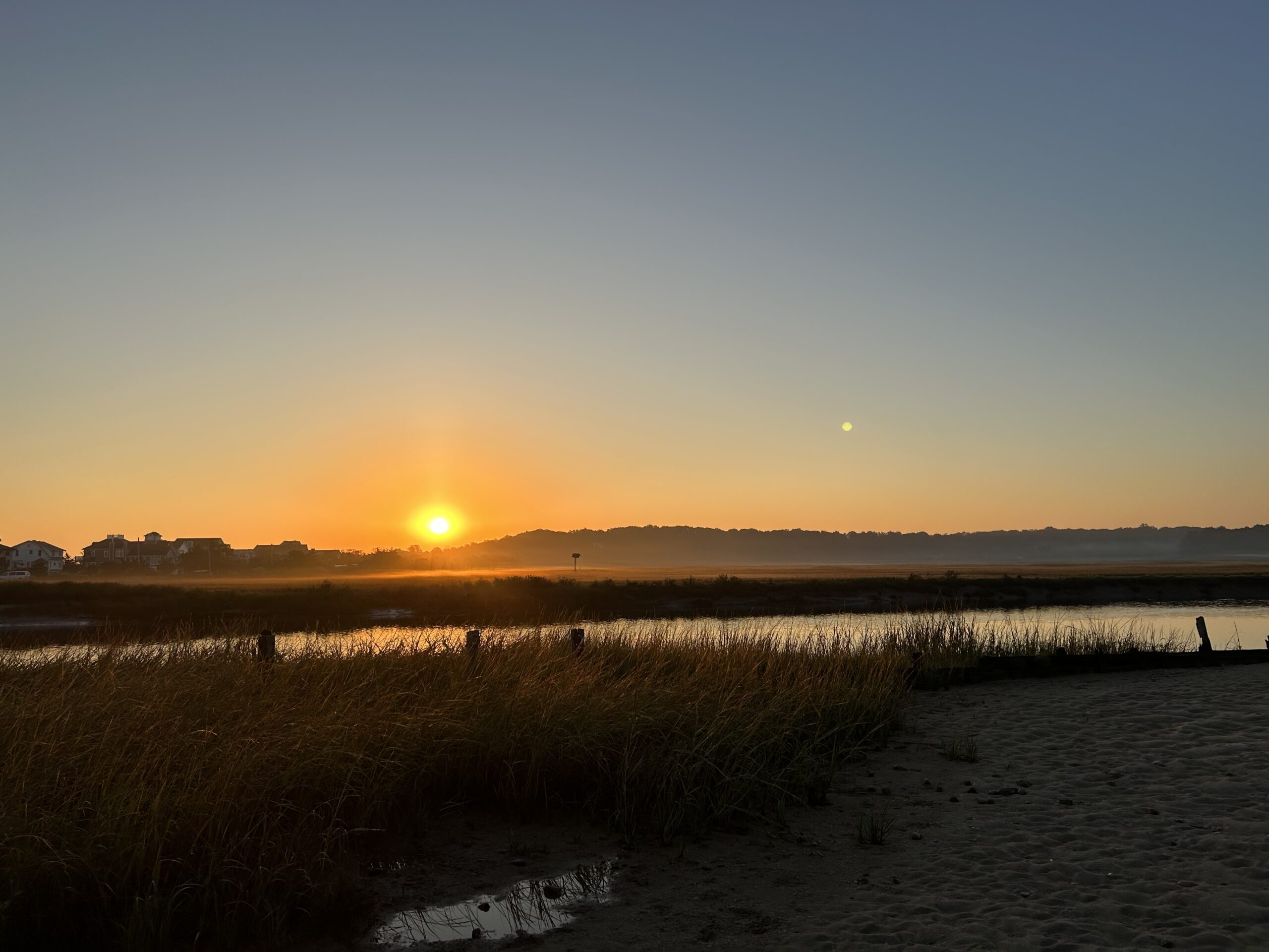 Photo by Jonah Saitz, USFWS.
Case Study
Plan
Huntington, NY
This comprehensive study and plan, funded through the National Fish and Wildlife Foundation, Long Island Sound Futures Fund, identifies initial strategies to maintain and enhance the local watershed resources of Crab Meadow. It is meant to be a land management tool to guide the implementation of best practices. The plan was developed in consultation with many partners and stakeholders. There is now significant community buy-in to take action to protect and restore this important watershed.
Following adoption of the plan, the Town of Huntington began working with US Fish and Wildlife Service and Audubon to study and restore Crab Meadow marsh and implement recommendations from the Stewardship Plan. Audubon, in partnership with Town of Huntington and USFWS, received a 2024 Long Island Sound Futures Fund Grant ($429K) to develop design plans for marsh restoration at Crab Meadow.
Resources & Tools